 geo.be Metadata Catalog
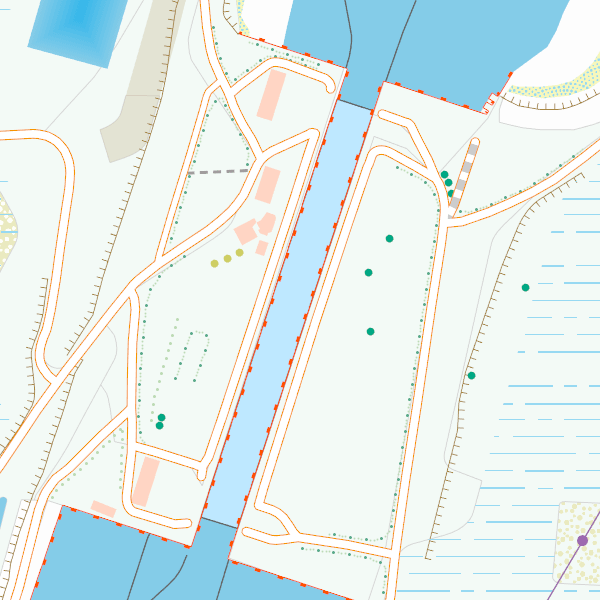
road network
Type of resources
Available actions
Topics
INSPIRE themes
federalThemes
Keywords
Contact for the resource
Provided by
Years
Formats
Representation types
Update frequencies
status
Service types
Scale
-
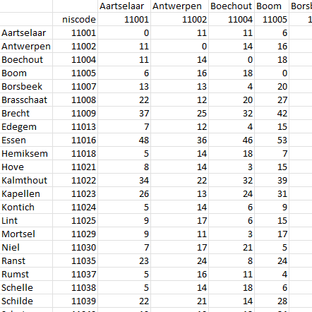
This dataset contains a matrix of distances between all Belgian municipality centres as defined in the AdminVector product. The distance is in km and is rounded to an integer.
-

Top10Vector – Rail network is the data set of the railway network in Belgium. This data set includes three classes. First class: rail network kilometre markers. Second class: railway stop. Third class: railway track segments. This data set can be bought via the corresponding hyperlink.
-
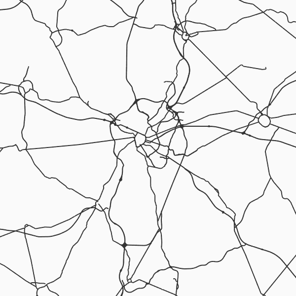
Top10Vector - Road network is the vector data set of the Belgian road network. It contains five classes. First class: dirt roads. Second class: kilometer markers along the road network. Third class: path segments. Fourth class: road obstructions. Fifth class: road segments. This data set aimt at representing the surface area of the road network on the Belgian territory and is not designed for route calculations. This data set can be bought via the corresponding hyperlink.
-
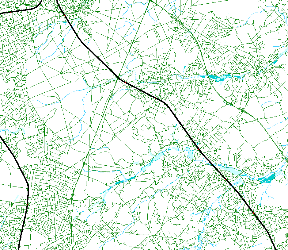
The entities included in the dataset represent the Belgian road transport network in the sense of the Inspire European directive. The dataset comprises several classes. The RoadLink class represents, in a linear manner, all of the road links between each pair of dots for the network considered. The footpaths, cycle paths or carriageways that connect the pairs of dots correspond to as many entities in the class. The RoadServiceArea class represents the sections of space devoted to auxiliary road transport functions, such as service stations or rest areas. In addition to this are two classes without geometry. RoadWidth class describes in metres the width of each segment of the "road links" class. The "functional importance" class ranks the segments of the "road links" class by functional importance on the road transport network.
-
This web service allows viewing the NGI data which comply with the INSPIRE specifications. It gives an overview of the INSPIRE data which are for sale.
-

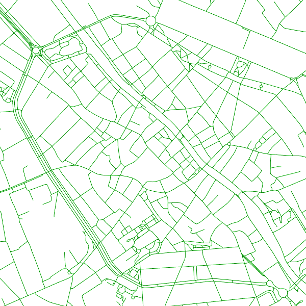
Top10Vector is Belgium's series of topographic vector data. The data set contains 37 feature classes, which are divided into eight themes (road network, railroad network, power grid, constructions, land use and vegetation, local relief and particular zones), all of which correspond to a so-pecific data set and can be obtained separately via the corresponding hyperlink.
-
CartoWeb.be is a Web Service (WMTS/WMS) containing cartographic representations covering 11 scale levels. CartoWeb.be offers a cartographic representation which has been developed specifically for on-screen viewing of the NGI’s most recent vector data sets. Three versions are available for the Belgian territory: 1) a TOPO layer containing a cartographic representation at all scales; 2) a GREY layer, which is the symbolisation in different shades of grey and blue of the TOPO layer. It constitutes an ideal map background; 3) an OVERLAY (1:2 500 - 1:25 000) layer destined to be used as an overlay on other data (orthophotographs for instance). This layer contains the symbolisation of a few layers only. A fourth layer, CROSSBORDER, is available in order to allow viewing (only on the smallest scales) the European context of Belgium. The extent of this representation is limited and could change in the following versions. It is best to combine the CROSSBORDER layer with the TOPO layer.
-
This web service allows viewing the Belgian topographical vector data as established by the National Geographic Institute. It gives an overview of the data sets of the Top10Vector-series which can be purchased.